How is Brazil managing to tackle deforestation so effectively?
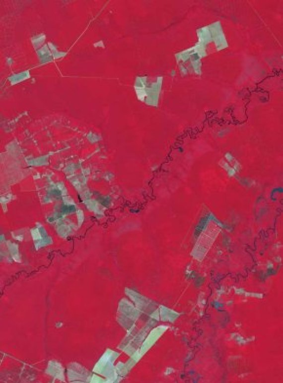
‘The government has a good remote sensing programme which is directly linked to legislation. Offenders are tackled quickly, put on a blacklist and not allowed to sell their products.’
Deforestation has now been significantly reduced in Brazil. Is this a battle we are winning?
‘I don’t think so. There is still a lot of deforestation going on, some of it in the Amazon too. If we carry on like this – with 2 percent lost every year – there will be very little forest left in 50 to 80 years’ time. Also, fragmentation, splitting the forest up into small section, speeds up drying out and the loss of biodiversity.
As far as deforestation is concerned, it is very important that we get to zero. If we cut down as much in the next 20 years as we did in the last 20, we’ve got a problem.’
What means do we still have for achieving that goal?
‘At the moment the Brazilians are still using optical remote sensing, photos. But in the northern Amazon it is very cloudy. By using satellites with radar you can see through the clouds. That means you can monitor a lot of areas more often, or even for the first time. Radar also makes it possible to research the quantity of biomass. Another point is that researchers in Brazil still analyse the data manually. By digitalizing that process you can work faster and more precisely. You can include small cleared areas too, for instance. And you can identify areas which may not have been cleared but where trees are disappearing.’