<Photo: Saskia Werners>
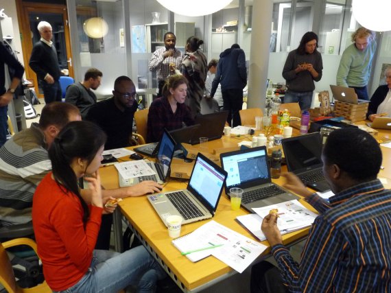
The Mapping Party was organised by Saskia Werners of WUR, together with an employee of Unesco-IHE. About two hundred researchers gathered in four places in the Netherlands and Kenya to map an area in Kenya in a time span of three hours. To be precise: the basin of the Mara, a river in southwest Kenya. With the help of satellite images, the participants started entering houses and roads in OpenStreetMap, an open-source map of the world. The participants were each given a part of this area and started mapping while enjoying a slice of pizza, a drink and music.
Societal role
This was the first time Werners attended a Mapping Party. ‘I heard about the draught in the media, and about the Red Cross’ need for good maps. I am working on a project in that area and realised that a university does more than just education and research, it has a societal role as well.’
With the help of satellite images, the participants zoom in on Mara’s basin, the river known for the annual migration of millions of gnus, zebras and antelopes between the Serengeti park in Tanzania and the Masai Mara in Kenya. The area is currently very dry, as the rain season brought very little rain during the last two cycles. The livestock farmers in the area, the Masai, are suffering dead goats and poor cattle. The draught is also causing bad harvests. The local population is starving. The next rain season, which should start in March, will be crucial. If little to no rain falls, the people will be in grave danger.
Volunteers
The Red Cross is preparing for this scenario. The humanitarian institution wants to know how many people live in the area and what the infrastructure looks like. As there were no proper maps of the area, the group of volunteers decided to create them. Besides WUR employees, participants also included students and employees of the Institute for Water Education Unesco-IHE in Delft, the Faculty of Geo-Information Science and Earth Observation at the University of Twente and the Geo-Information Services company Upande in Kenya. This Friday, another sixty people will gather for the Mapping Party, tells Werners. The map should then be finished.
Water management
The map might also be used for her project, says the Wageningen climate researcher. Werners is working on a water management project in the Mara with partners from Kenya and the Netherlands. WUR wants to help retain more water and diminish erosion using agroforestry. Werners explains that this is important because the precipitation in the area can strongly fluctuate. Sustainable water management will help the farmer corporations and the water users’ organisations to develop investment plans.
The Mapping Party was a nice experience for Werners. ‘One works together with GIS specialists and Red Cross volunteers who have mapped land areas before and can provide useful tips. The local knowledge of Kenyan students also helps to recognise houses and various other objects on the satellite images. Finding houses and then entering them into the mapping system is addictive.’
Alterra mapped a piece of Japan during a Mapping Party – or ‘mapathon’ – six years ago.