But there’s a catch: pedestrians move too slowly for the GPS data to be translated straightforwardly into stillness or motion. This is due to the inaccuracy of the signal. The standard GPS pinpoints its own location only to within about 12 metres. So it is difficult to determine whether or not someone is actually moving. Daniel Orellana, a PhD researcher at the Laboratory of Geo-Information Science and Remote Sensing has devised a way to solve this problem using vector analysis. He connects two consecutive GPS signals by vectors and then lets a smart algorithm (a calculation formula) loose on the muddle of little arrows. The result is a method that is able to correctly detect over 90 per cent of the stationary moments during a walk.
Galapagos
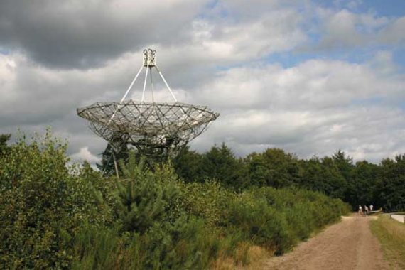
One of the ways Orellana is using the new method is to chart the visitor flows in Dwingelderveld nature reserve in Drenthe province. His results are published in this year’s first issue of Tourism Management. The method clearly reveals the park’s main attractions: the visitors’ centre, the radio observatory, the sheep farm and the wetlands. Information of this type is invaluable to the park’s management. Orellana is now using the same method to study the behaviour of tourists on the Galapagos Islands.